Connect this guide with the rest of your visit in the Makkah trip planner. Read how the research is made and what its sources establish.
At a glance
Start here
- Read Makkah as a valley city with built-up corridors between mountain edges.
- Group places into geographic clusters before judging whether an itinerary is realistic.
- Use mountains as orientation context, never as proof of public access or a safe route.
- Recheck official maps and current conditions because infrastructure and weather can change a journey.
01
Start with the valley, not the attraction list
Discover Makkah describes the city as lying in a dry valley surrounded by mountains. That simple physical fact is the best first layer for a visitor's mental map. The dense central city did not spread across a featureless plain; it grew within and beyond constrained ground. Roads, buildings and public spaces therefore appear as bands, pockets and junctions rather than a neat grid that can be crossed in any direction.
On a digital map, the visual gap between two pins may seem modest. On the ground, the useful route has to follow the available corridor, pass around rising terrain or enter a busy interchange. Before combining stops, switch to a relief or terrain view where available, inspect the actual road connection and ask which district each place belongs to. This single check prevents more unrealistic plans than memorizing a list of distances.
- Identify the district for each stop.
- Inspect the route, not only the straight-line gap.
- Keep an outer-district visit separate from a dense central sequence.
02
See mountains as city edges and landmarks
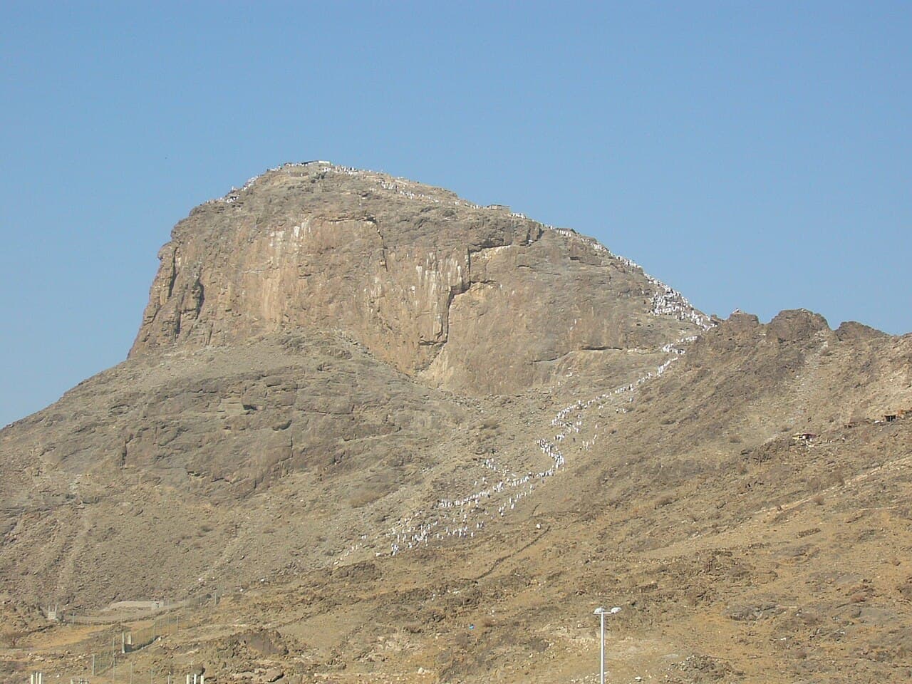
The Ministry's Makkah page names Jabal al-Nour and Jabal Thawr while describing the city's rocky and sandy terrain. From many viewpoints, mountain forms create a clear backdrop, interrupt long sightlines and help explain why adjoining built areas can feel separate. They are part of the city's visual grammar: a visitor notices road cuts, buildings stepping toward slopes and corridors opening suddenly into wider ground.
That orientation value must not be confused with visitor access. A named mountain on an official tourism page is not evidence that every path is open, suitable or permitted. This article makes no claim about climbing conditions. Use the profile of the land to understand direction and scale; use a current responsible authority for any decision about approaching a particular site. The distinction keeps geographic interpretation useful without turning it into unsupported route advice.
Sources: Saudi Ministry of Hajj and Umrah; Discover Makkah, Royal Commission for Makkah City and Holy Sites03
Build four working clusters
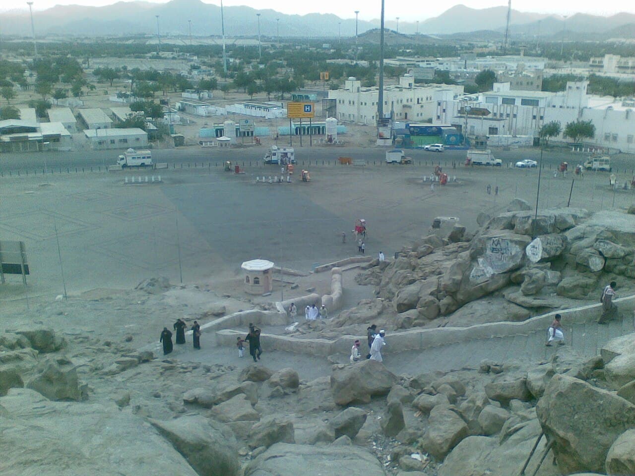
A practical visitor map can begin with four broad working clusters: the dense central area, the Hira and Jabal al-Nour side of the city, the transport approaches including the Haramain station area, and outer heritage landscapes such as the Arafat side. These are planning labels, not administrative boundaries. Their purpose is to stop a schedule from treating all Makkah addresses as interchangeable.
Assign each candidate place to one cluster, then join stops only when the official map shows a sensible route and current access is confirmed. A day with one central commitment and one optional nearby cultural stop has a different risk profile from a day that repeatedly crosses the city. If the only reason two stops are paired is that both use the word Makkah in their address, the pairing needs another look.
- Central density
- Hira and the northeastern mountain edge
- Rail and major transport approaches
- Outer heritage landscapes
04
Why straight-line distance misleads
Distance tools often answer the wrong question. They can measure the line between coordinates, but a traveller needs the time between usable entrances by a route available at that moment. Mountain slopes, controlled approaches, pedestrian circulation and the location of a station exit can all widen the difference. The official getting-around page places the Haramain station at Al-Rusifah outside the immediate central core, which is a useful reminder that arrival in Makkah is not arrival at a final doorway.
For each transfer, record an origin entrance, a destination entrance and the current transport source. Add a change buffer rather than converting kilometres into minutes with a generic formula. When information is missing, preserve the uncertainty in the plan. A blank transfer estimate is more honest and safer for the schedule than a precise figure derived from a straight line across terrain the route cannot follow.
Sources: Discover Makkah, Royal Commission for Makkah City and Holy Sites; Discover Makkah, Royal Commission for Makkah City and Holy Sites05
Notice how infrastructure answers the terrain
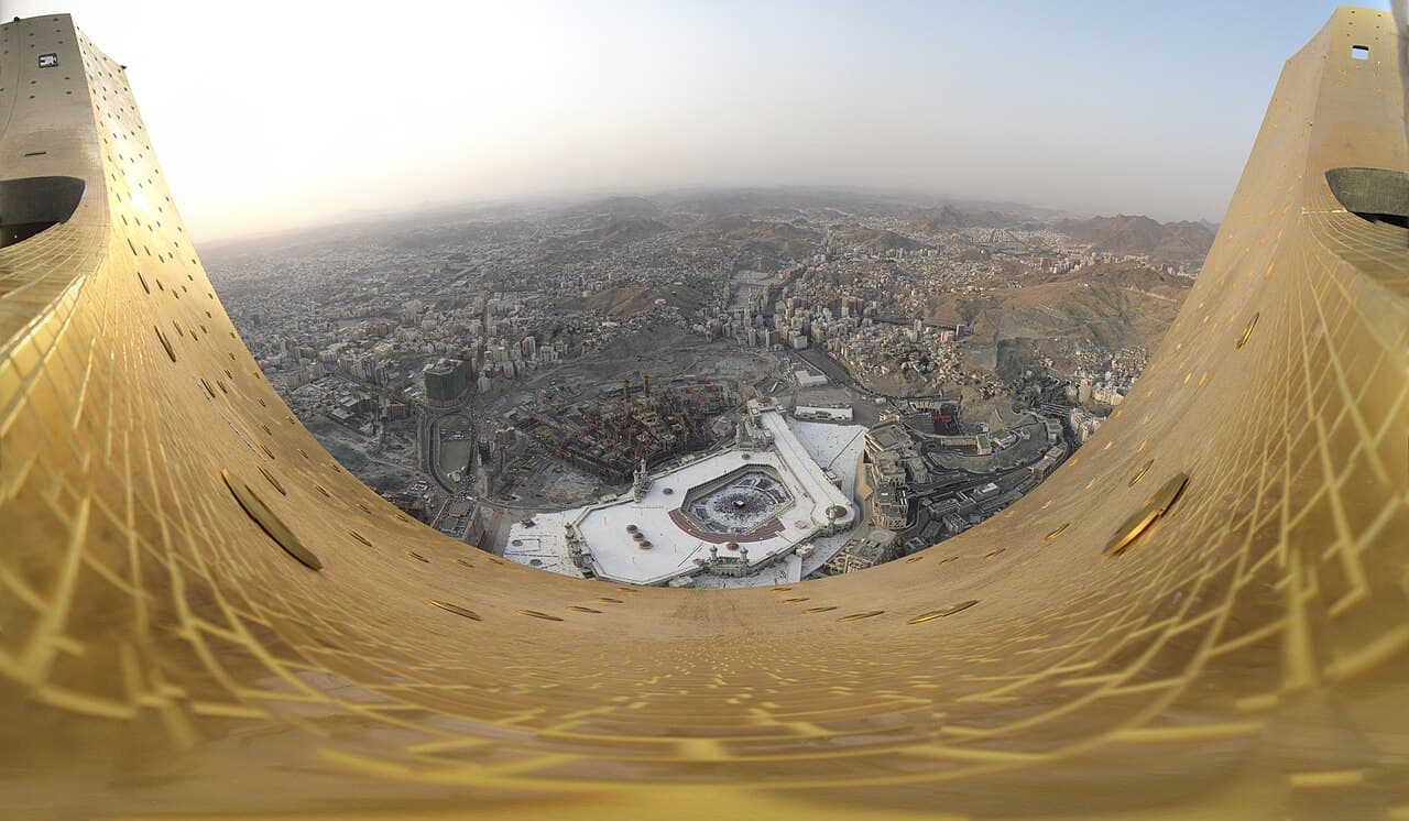
The urban landscape can be read through its engineering responses: roads concentrate through available corridors, large junctions distribute movement between districts, and the rail station connects to a second layer of local transport. From an elevated city view, these systems make the valley legible. Broad routes are not empty lines between attractions; they are the structure that allows separated pockets of the city to function together.
This perspective also improves transport choices. An intercity train, a city bus and a final walk solve different scales of the same geographic problem. No single booking completes all three. Check the current operator for each leg, and do not assume that a nearby landmark name means a short or direct pedestrian connection. Makkah's terrain makes the handoff between modes part of the journey, not a minor detail after booking.
- Intercity mode brings the visitor to the city.
- Local mode crosses districts or corridors.
- The final approach reaches the correct entrance.
06
Treat weather as a temporary map layer
Discover Makkah characterizes the climate as generally hot and dry and notes that sporadic rain can sometimes be heavy. That description is climate context, not a forecast. Heat, rain and official operational controls can change which connection is reasonable on a particular day. An exposed segment that looks minor on paper may deserve a different sequence once current conditions are known.
Consult current official notices and a live forecast close to travel. If authorities alter access or movement, their direction supersedes the saved route. Build a plan that can lose an optional outer stop without collapsing the core purpose of the day. The right lesson from terrain is not alarm; it is flexibility. A geographic plan should change when the physical city or its operating conditions change.
Sources: Discover Makkah, Royal Commission for Makkah City and Holy Sites07
Read a panorama in three passes
When viewing a Makkah panorama, first trace the mountain edges and the low ground between them. Second, find the largest transport corridors and observe where they narrow, curve or split. Third, locate built clusters rather than individual monuments. This order turns a dramatic image into a planning aid while avoiding the false confidence of identifying every distant structure.
Return to the official interactive map and compare that visual reading with named places and routes. The panorama supplies shape; the map supplies labels; current operator and authority pages supply decisions. None can replace the other. Together they explain why Makkah can feel both visually compact and operationally spread out, and why a good itinerary respects the city's landform before adding another pin.
- Trace landform.
- Trace movement corridors.
- Locate clusters, then confirm labels on the official map.
Useful answers
Reader questions
Does an official map pin mean a mountain site is open to visitors?
No. A pin can establish location or tourism context, but current access and route conditions require confirmation from the responsible authority. This article does not recommend a climb.
Sources: Discover Makkah, Royal Commission for Makkah City and Holy Sites; Saudi Ministry of Hajj and UmrahWhy can two nearby-looking places require a substantial transfer?
A usable route must follow available corridors and entrances around the city's terrain. Straight-line distance does not account for those constraints or live operations.
Sources: Discover Makkah, Royal Commission for Makkah City and Holy Sites; Discover Makkah, Royal Commission for Makkah City and Holy SitesWhat is the simplest way to make a geographic itinerary?
Assign stops to broad clusters, inspect actual routes, confirm current access, and keep outer-district additions optional until their transfers are verified.
Sources: Discover Makkah, Royal Commission for Makkah City and Holy SitesRead the evidence
Sources and further reading
These sources support the relevant sections above. Plans and comparisons are editorial suggestions. Check operators for current arrangements.
- Landscapes & Weather ↗Discover Makkah, Royal Commission for Makkah City and Holy Sites · Research date 14 September 2026
Makkah's dry valley, surrounding mountains and broad climate description.
- Makkah Al-Mukarramah ↗Saudi Ministry of Hajj and Umrah · Research date 14 September 2026
The city's rocky and sandy geography and named mountain context.
- Makkah Interactive Map ↗Discover Makkah, Royal Commission for Makkah City and Holy Sites · Research date 14 September 2026
Official place records and geographic relationships for cluster planning.
- Getting Around Makkah ↗Discover Makkah, Royal Commission for Makkah City and Holy Sites · Research date 14 September 2026
Transport geography, including the Haramain station at Al-Rusifah and the railway's station network.